
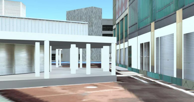
You will soon be able to ‘take a stroll’ through void decks when the Singapore Land Authority’s (SLA) integrated map system OneMap upgrades to its 3D version.
Announced by Minister in the Prime Minister’s Office and Second Minister for Finance and Education Indranee Rajah yesterday (2 Sep), the 3D upgrade to OneMap will use models and renderings to “project how buildings look like in a neighbourhood”.
This is available for buildings that are not yet built too.
One possible use for OneMap’s upgrade is for home buyers to get a better idea of the view from a specific floor, or “even conduct shadow analysis” to see where shadows cast by the sun will fall on the side of a building.
Just like Google Maps, OneMap is a free intelligent map service that was launched in 2010, but one key difference is that it is regularly updated with information contributed by government agencies.
Another difference is that users can actually search for information such as schools within 1km of a selected building, or population information like the number of people in a certain age group who live in a specific area.
The 3D upgrade is expected to go live by the end of next year.