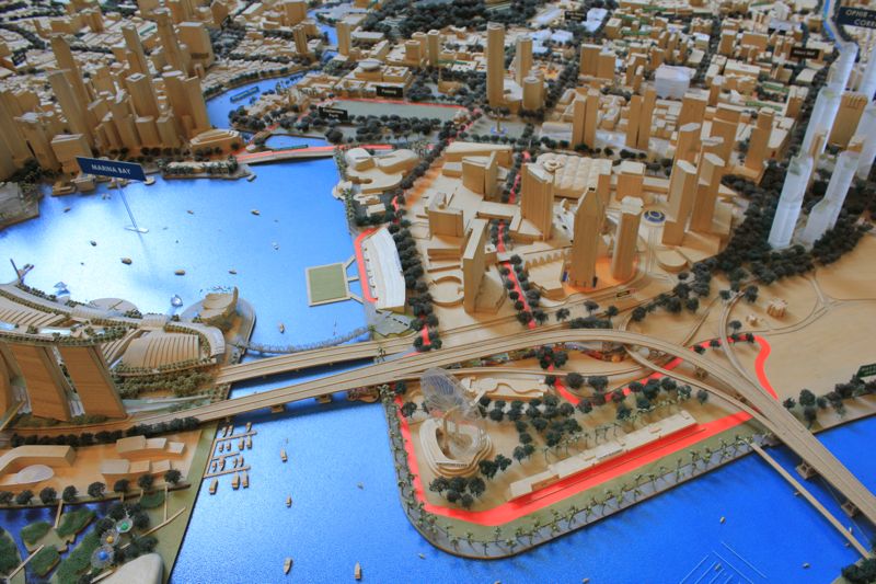
Singaporeans will soon be able to enjoy the 3D digital platform that enables them to create new innovations that benefits the communities through knowledge sharing and community collaboration.
This project, aka Virtual Singapore, was initiated by Singapore National Research Foundation (NRF) and comes under the Smart Nation vision revealed by Prime Minister Lee Hsien Loong last week. The SGD73 million project comprises a 3D city model and collaborative data platform which includes 3D maps.
Set to be fully completed by 2017, Virtual Singapore allows the government and private agencies from different fields to develop tools and applications for planning and decision making. Virtual Singapore is led by the NRF and will be operated by Singapore Land Authority (SLA) upon completion. Infocomm Development Autority (IDA) will be providing technical expertise as required in the project.
“As Virtual Singapore is an intelligent information platform leveraging big data environments, users will be able to derive insights, develop solutions and run simulations by creating rich visual models and realistic large-scale scenarios of Singapore. For example, the software offers visualisations of 3G/4G network coverage areas, simulations of crowd control and evacuation measures, planning scenarios for delivering municipal services and analyzing pedestrian flows as well as projecting science research outcomes,” a joint statement by NRF, SLA and IDA said.
Possible Applications
The collaborative data platform, which includes 3D maps, is able to ease users in locating public facilities and amenities in their neigbourhood. Users can use the interactive map to locate a local coffee shop, public transport stations or public buildings like a police station. The data platform also allows users to share interior floor plans of a shopping mall or plan a route for a handicapped.
Virtual Singapore is also aimed to be a platform that shares information and resources for environmental sustainability. In addition, it also can be used as the monitoring or tracking platform for businesses and communities. For example, it can conduct a neigbourhood watch using shared information to view the CCTV footage of public areas around users’ neighbourhood.
Since the 3D city model contains detailed information from the type of vegetation surrounding buildings to the composition of buildings’ materials, it is able to help to simulate possible scenarios of future amenities.
“Realistic representation of physical Singapore in Virtual Singapore will enable virtual experimentation, deployment of public services, advanced analytical tasks and high fidelity modelling and simulation that current geometrical 3D models do not support.”
“For example, sophisticated tools for multi-perspective and holistic analysis could be developed to support search queries, analytical tasks as well as advanced modeling and simulation for planning and decision-making, in areas such as urban and infrastructure planning and development, environmental and disaster management, and homeland security,” the statement added.
Making Singapore better and smarter is going to get a whole lot easier.
